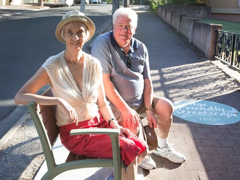
Age friendly streetscapes

Walking, one of the best forms of physical activity, is heavily influenced by a well-planned and maintained streetscape. We know that people are more likely to walk if the route is safe, amenable, comfortable and sheltered.
The Age Friendly Streetscape Project seeks to create a network of streets across the City of Unley that have well designed and maintained footpaths, are accessible for all, and have plenty of seating and shade.
Locate Age Friendly Streetscapes
- Burnham Avenue, Myrtle Bank
- Ferguson Avenue between Glen Osmond and Fullarton Roads
- Fisher Street, Fullarton and Myrtle Bank
- Goodwood Road between the tram line and Angus Street
- Leader Street, Wayville
- Lily and Ophir Streets between Goodwood and King William Roads
- Young Street between Unley and King William Roads continuing into Trevelyan Street.
Community Walkability Checklist
The Heart Foundation has a national tool for the community to assess how walkable their neighbourhood is, by rating elements of their environment. See the checklist on the Heart Foundation website.
Data from the checklist will help the Heart Foundation collate information from across the country on where improvements are needed and importantly where neighbourhoods are doing well.